Tip 1: How to determine the distance on a map by scale
Tip 1: How to determine the distance on a map by scale
The terrain on the map is always shown in a reducedform. The reduction factor is called the scale. By measuring the length of a segment on the map, you can then calculate the actual distance between the two objects on the terrain.

Instructions
1
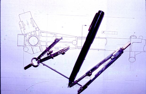
If you need to know the distance between twopoints in a straight line, measure the corresponding segment on the map using a ruler. Preferably, it is made of as thin a sheet material as possible. In case the surface on which the map is spread is not flat, the tailor's meter will help. And in the absence of a thin ruler, and if the card is not a pity to pierce, it is convenient to use to measure the compass, preferably with two needles. Then it can be transferred to millimeter paper and measure the length of the segment along it.
2
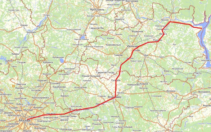
Roads between two points on the map are rarelystraight lines. Measure the length of the curve of the line will help a convenient device - the curvimeter. To use it, first rotate the roller, align the arrow with zero. If the curvimeter is electronic, it is not necessary to manually set it to zero-just press the reset button. While holding the roller, press it to the starting point of the segment so that the risk on the body (it is located above the roller) points directly to this point. Then drive the roller along the line until the risk is aligned with the end point. Read the testimony. Note that some curvimeters have two scales, one of which is graduated in centimeters and the other in inches.
3
Find on the map a scale indicator - usually itlocated in the lower right corner. Sometimes this pointer is a segment of the calibrated length next to which is indicated to what distance it corresponds. Measure the length of this piece with a ruler. If it turns out, for example, that it has a length of 4 centimeters, and next to it it is indicated that it corresponds to 200 meters, divide the second number by the first, and you will learn that to each centimeter on the map corresponds to 50 meters on the terrain. On some maps, instead of a segment, there is a ready-made phrase, which may look, for example, as follows: "In one centimeter, 150 meters". Also, the scale can be specified as a ratio of the following form: 1: 100000. In this case, you can calculate that the centimeter on the map corresponds to 1000 meters on the terrain, since 100000/100 (centimeters in meter) = 1000 m.
4
Measured by a ruler or curvimeter distance,expressed in centimeters, multiply by the number of meters or kilometers indicated in the map or calculated in one centimeter. The result is a real distance, expressed, respectively, in meters or kilometers.
Tip 2: How to determine the distance on a map
Any card is a reducedimage of a territory. The coefficient, which shows how much the image is reduced in relation to the real object, is called the scale. Knowing it, you can determine distance by Map. For real-life maps on paperbased scale - the value is fixed. For virtual, electronic cards, this value varies with the change in the map's zoom on the monitor screen.

Instructions
1
If your card is on a paper basis, then find ita description that is called a legend. Most often, it is in marginal design. In the legend, you must specify the scale of the map, which tells you how much measured in centimeters distance for this Map in reality, on the ground. So, if the scale is 1: 15000, then it means that 1 cm on Map is 150 meters on the terrain. If the scale of the map is 1: 200000, then 1 cm, laid on it is 2 km in reality
2
Measure that distance, which interests you. Note that if you want to determine how quickly you will reach or reach from one house to another in the city or from one settlement to another, then your route will consist of straight segments. You will not move in a straight line, but along a route that runs along the streets and roads.
3
Actually distance between the start and end point of your path will be longer than distance, measured between the start and end pointsways. In order for the measurements to be accurate, map the route of your movement in the form of short and long straight segments, determine their amount and find out the actual distance, which you need to overcome.
4
To determine distance by electronic Map, you can use one of manygeoinformation programs that can be found on the Internet. There are specialized programs used by transport companies. Having set the initial and final destination, the settlement, you will be able to get a map on which the route of your journey will be marked and its general distance and distance between the nodes of the route.
5
Distance by Map can be measured using the "Ruler" toolgeoinformation packages Google Earth and Yandex Maps, a base for maps in which are space satellite imagery. Just turn on this tool and click on the point marking the beginning of your route and the one where you plan to finish it. The distance can be learned in any given unit of measurement.


